
 The number of weather stations around the world is shrinking due to belt-tightening measures, making it harder to forecast flash floods and landslides. Fortunately, the global omni-presence of towers can be utilized to measure rainfall inexpensively by using existing, widespread equipment, according to The Economist.
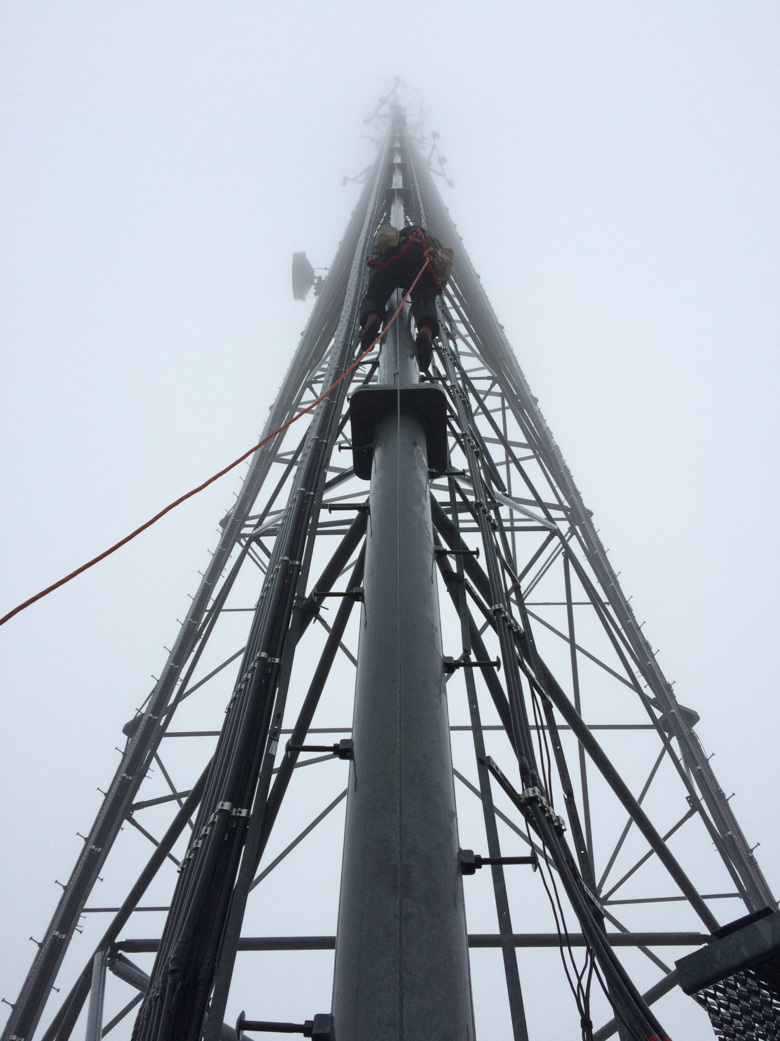
So how does the rain detection via towers work?
Because rain weakens electromagnetic signals and many mobile-phone towers, especially in remote areas, use microwaves to communicate; a dip in the strength of those microwaves could reveal the presence of rain. This could provide an answer to areas that have been swept away by mudslides because no one knew how much rain had actually fallen beforehand, according to Modeste Kacou, a rainfall expert at Félix Houphouët-Boigny University in Abidjan, in the Ivory Coast.
Wealthier countries either have or are piloting programs, including the Netherlands and Sweden, the latter studying rainfall maps derived from data collected every ten seconds from 418 mobile-phone towers. Based on the amount of data collected, the hope is this will provide more accurate estimates of rainwater that could result in flooding or sewage overflows, The Economist reported.
According to Jafet Andersson, a hydrologist at the Swedish Meteorological and Hydrological Institute, the current system comprising 13 rain gauges backed up by radar sweeps of the sky are neither sufficiently frequent nor precise and satellite data is so inaccurate, it’s not even utilized. Additionally, because transmission towers are so common, predicting where rainclouds are being pushed by winds is easy and accurate, notes Andersson.
Telecom data can help track how much rain is falling at any given time plus help make forecasting assumptions. Some newer networks are so sufficiently sensitive that they can detect humidity and fog, both of which are predictors of imminent rain. By utilizing shorter wavelengths, some networks can even detect tinier amounts of water because moisture weakens shorter wavelengths more than long ones. According to Pinhas Alpert of Tel Aviv University, by using data from about 5,000 towers operated by three telecom firms in Israel, he’s created moisture maps that are far more precise than those drawn with data from the Israel Meteorological Service’s humidity gauges.
As of right now, according to The Economist, most telecoms are offering the forecasting data free of charge, but that may change in the future. ClimaCell, a firm based in Boston, Massachusetts, has already begun selling its “precise” phone-tower data to airlines, several sports leagues, a construction company, a drone operator and a hedge fund.
October 3, 2017
Reader Interactions