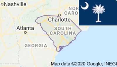
South Carolina’s broadband office is employing geography to distribute broadband funds more accurately, reported State Scoop. Officials developed an “extensive geospatial data warehouse” to “identify and prioritize funding for areas throughout the state that lack a reliable internet connection,” said James Tanis, a senior geospatial data scientist with the state’s broadband office.
Tanis added that instead of relying on ISPs to report data, the office decided to standardize geographic information system (GIS) data. The office created a GIS template, requiring ISPs applying for grants to enter data in the same way via an Excel format. “We can use formulas, we can chart the data when it comes in, we can graph it, we can quickly score, we can grab certain fields we want,” Tanis noted.
State Scoop reported that the data is also available online, converted into an interactive map, for public viewing. The broadband office continues to provide transparency into the progress of a grant application, indicating which projects have been selected, the grant agreement, and a table with GIS statistics, “including the number of eligible service locations that will be served, miles of line work and what percentage of the work is aerial or underground.”
Once a project is underway, the office will use GIS data to monitor the work in real-time, noted Tanis. ISPs must submit geotagged construction photos and speed test photos to track a project’s progress. Once a project is completed, the ISP must use GIS to certify their work on maps, including the number of homes and businesses included, how many miles of fiber were installed, and other details, according to State Scoop.


Reader Interactions